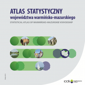
Statistical atlas of warmińsko-mazurskie voivodship
| Date of publication: | 23.07.2018 |
|
In 2018 it has been 100 years since the establishment of Statistics Poland. On this occasion the Statistical Office in Olsztyn prepared a publication the Statistical Atlas of Warmińsko-Mazurskie Voivodship presenting the most important socio-economic processes and phenomena occuring in our region. The study includes a comprehensive set of statistical data grouped in six thematic sections describing: location and administrative division of the voivodship, human capital, quality of life, economy and environment. The last section presents selected information about the voivodship in comparison to regions (NUTS 2) of European Union. Described phenomena are presented in the form of graphs, cartograms and cartodiagrams. Basic scope of information is presented on maps for 2016 or the next available year, partly also in reference to years 2000 or 2010. Additionally selected issues are presented in the form of graphs in the retrospection since 2000. The socio-economic and environmental aspects included in the study play a very important role in shaping, monitoring and evaluating of the cohesion policy at the regional level. The main sources of data used in the publication are the information resources of the official statistics, while the cross-region comparisons of the phenomena are based on the Eurostat data. In addition there are some more data from Head Office of Geodesy and Cartography, Ministry of Health, Ministry of the Interior and Administration, the Agency for Restructuring and Modernisation of Agriculture, Energy Regulatory Office, Central Examination Board, Polish National Police, Ministry of National Education and other institutions. |
|


